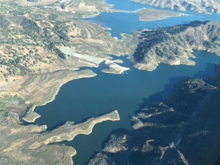
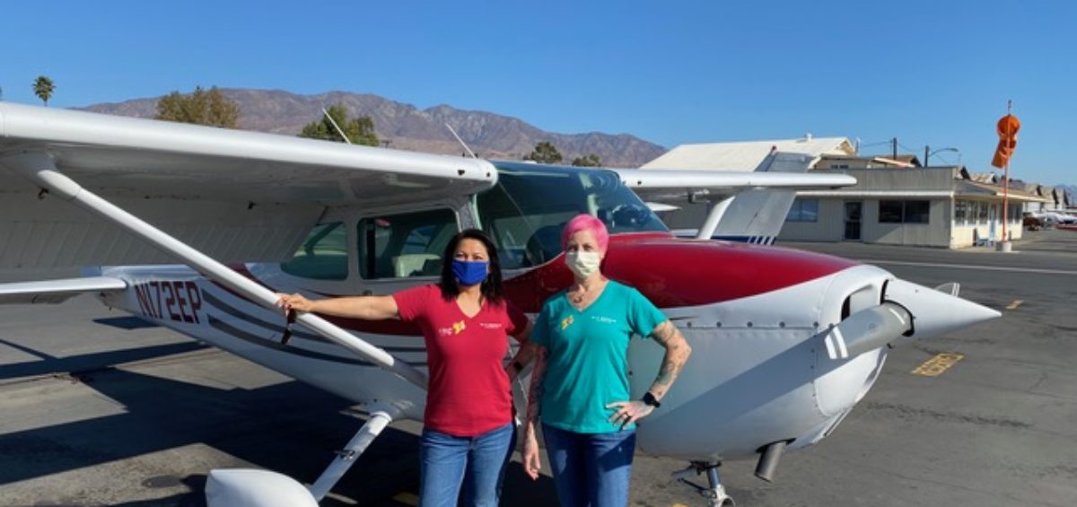
With the pandemic cancelling airshows and rallies, the Ventura County chapter of the Ninety-Nines (99s) had had enough of Zoom meetings. They needed a fun, yet safe way to come together as a club and to keep their flying skills fresh. With creativity, the help of a local geology professor, and some great group problem-solving, they not only came up with an innovative way to practice skills, they also elevated the popular sport of geocaching to the skies!
The Ventura County chapter of the 99s, the well-known international organization of women pilots, is an active, close-knit group. But the pandemic had brought in-person gatherings and events to a halt in 2020, leaving the members missing each other and leaving the chapter’s 23 student pilots without the in-person support and mentoring that are such an important part of the organization’s mission.
At their fall meeting, the chapter’s board decided there had to be a way to stage an event while still meeting COVID-19 safety protocols. They hit on the idea of a “flying rally” where small flying teams could practice navigation skills by flying to different locations. When board member Judy McCarthy mentioned the event idea to a geology professor friend, “Professor Patty” immediately saw the similarity to the popular terrestrial sport of geocaching, in which participants use GPS and other navigational techniques to hide or find containers called “geocaches” at latitude/longitude coordinates all over the world.
Designing the Challenge
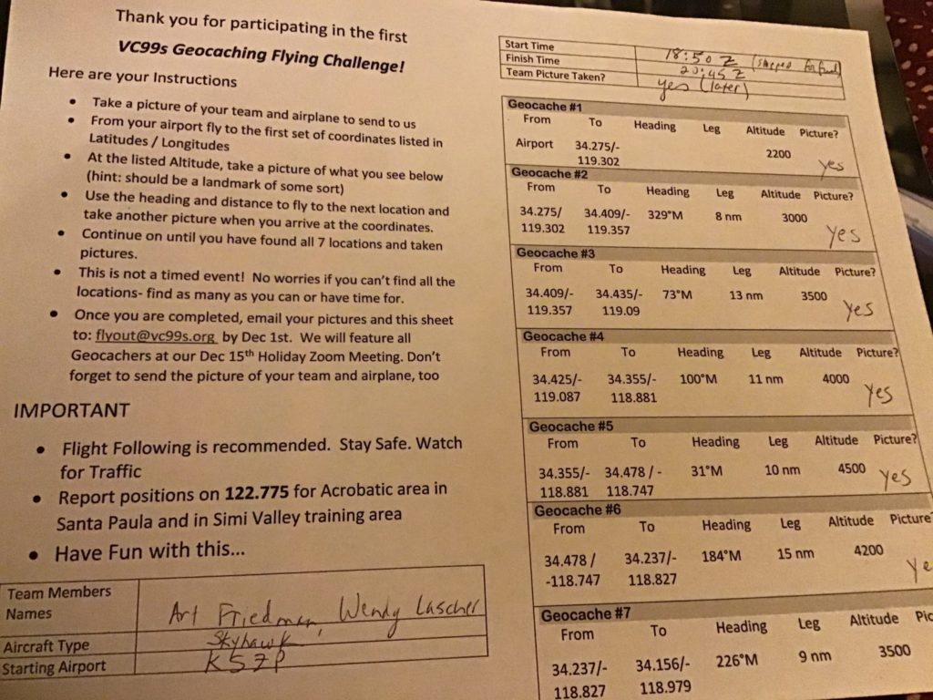
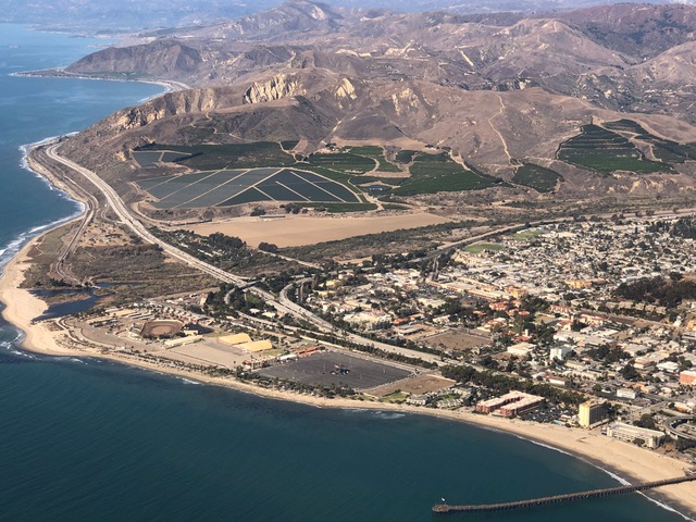
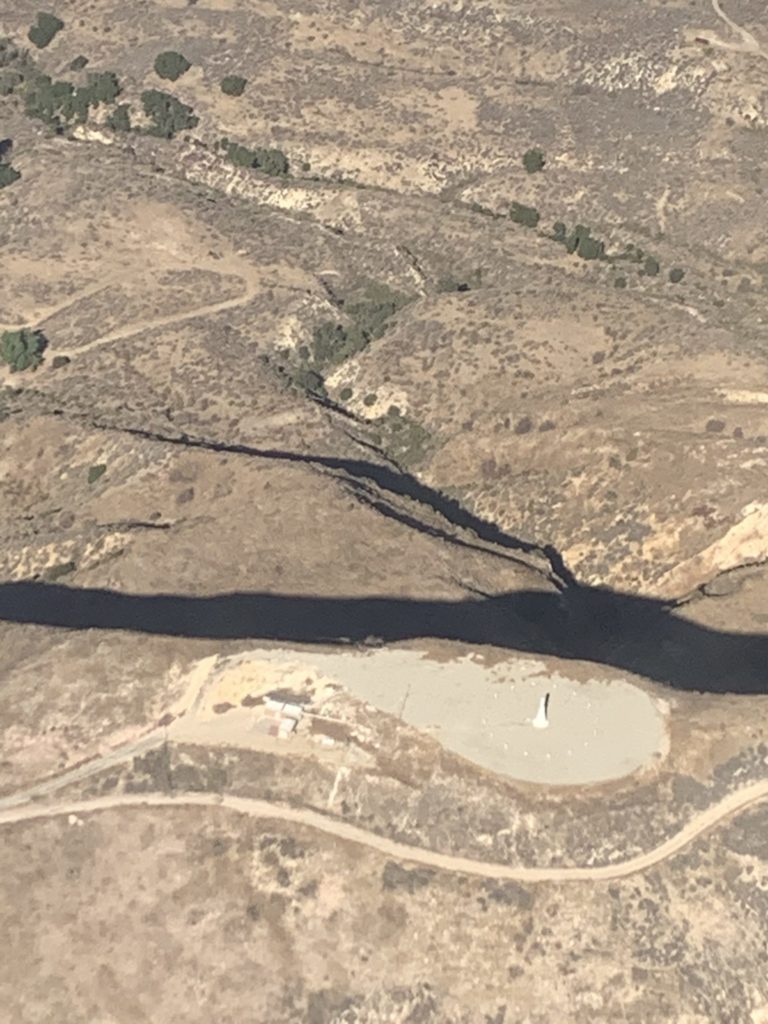
Adapting the geocaching model to the air turned out to be an interesting challenge. Board member Diane Grizard designed the course, choosing the lat/longs and altitudes for the “caches” and designing the routes so that members could take off from any of the four airports in the area and complete the course in about an hour (an important consideration for student pilots and others who had to rent their aircraft). To prove they had found the “caches”, the pilots were required to send pictures of the monuments from the given coordinates and altitudes. Dianne designed the course to really test the pilots’ flying skills. Some destinations required them to circle, and they also had to remember where there were areas of sensitive airspace. The course took them through an acrobatic area three times, and one destination, a lake, was also a training area. For safety, each team had to have at least two people, so no one was trying to pilot, do geolocation, and take photos at the same time.
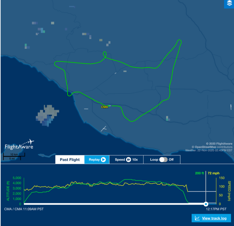
After thinking through the logistics, the board decided that the challenge should take place over multiple days. If the club had multiple aircraft converging on the same locations, they would have had to stagger start times and arrange an aircraft frequency ahead of time to coordinate. There was also no guarantee that pilots renting planes would be able to arrange aircraft on a given day, and the club would have had to purchase extra insurance for a scheduled air event. By not specifying a date, the club was able to treat the challenge as a self-paced proficiency exercise. The final decision on dates was rendered by Mother Nature herself: When Grizard flew the course to test the instructions, they ran into fog and had to turn home, so the teams clearly needed to be able to stop and resume the course if needed. The teams were given the lats/longs just before they took off, to prevent anyone “flying the course on Google.”
Good Practice and Good Fun
Before the challenge was over, five 2-person teams had successfully flown the “aerocaching” course. (One team did have to retrace its route to the first destination when they realized the “monument” they were following was a sailboat.) The exercise proved to be excellent practice for learning ground references. Brenda Corby, one of the student pilots who flew the course with another member, said that “It was great to do something completely different from practicing stalls and the usual drills,” and added that, because the event wasn’t a competition, it was welcoming for a student pilot. She also enjoyed getting to know her area from a new perspective: “I’ve flown over Lake Casitas many times, but I never knew there was a model airplane runway there.” Luz Schaible, another participant, loved the teamwork aspect of the challenge. “We found that the navigator/co-pilot communication was really important as we tried to locate the landmarks and do flight following.”
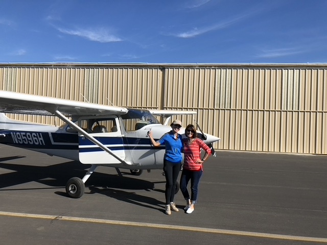
At the end of the challenge, each team earned a certificate of completion. The whole club celebrated their success at the chapter’s Zoom holiday party, where board member Barb Filkins presented a slideshow of the teams and the photo “caches” of their flight destinations. Then, Professor Patty gave a program about geocaching and the geology of some of the local landmarks that were included in the challenge.
Planning Your Own Aerocaching Challenge
Based on last year’s response, the Ventura County 99s are already planning an areocaching challenge for 2021. They’re thinking of making it officially an educational event, and Diane Grizard would like to add some dead reckoning into the navigation challenge.
If other flying organizations are interested in trying their own aerocaching events, the VC99s offer their encouragement and some advice. Spread the event across multiple days to allow for the weather and to give flexibility for pilots who need to rent planes. Diane Grizard says to give good instructions and be very clear about the purpose of the exercise. But most of all, they encourage other clubs to try it. As Alison Barker says, “Every time you try something new, you don’t know what will happen. It seems like a lot of work. But we decided that if even one person tried this the first time, it would be a success.” Judy McCarthy echoes those words: “Just try it, then build on it. We learned a lot!”







Leave a Comment